When National Weather Service, a division of the National Oceanic and Atmospheric Administration released its latest forecast on May 14, 2026, the message was clear: brace yourself. The odds of an El Niño climate pattern forming in the Pacific Ocean have skyrocketed to 82%, with a staggering 96% probability that it will be fully active during the upcoming winter.
This isn't just another seasonal shift. Forecasters are warning that this could be a "monster" event—the kind that rewrites history books and reshapes landscapes. For residents of Southern California, the implications are a double-edged sword: potential relief from drought versus the threat of catastrophic flooding.
The Numbers Behind the Storm
Here’s the thing about weather forecasts: they’re probabilities, not promises. But when the numbers climb this high, you pay attention. According to the Climate Prediction Center, the likelihood of El Niño emerging over the next few months has jumped from 61% just one month ago to 82% today.
The breakdown for the intensity of the event is equally striking:
- Very Strong: 37% chance (up from 25%)
- Strong: 30% chance
- Moderate: 22% chance
- Weak: 9% chance
These figures represent the highest confidence level yet for a potentially powerful climate pattern. The National Weather Service has officially issued an "El Niño watch," signaling that conditions are favorable for development. This formal alert means federal meteorologists are tracking the situation with heightened urgency, monitoring sea surface temperatures and wind patterns in real-time.
Why "Monster" Is the Word on Everyone's Lips
Turns out, experts aren't mincing words. In a recent episode of KQED Forum, climate commentators described the brewing system as potentially the most powerful El Niño in 150 years. That’s right—centuries-long comparisons are being made.
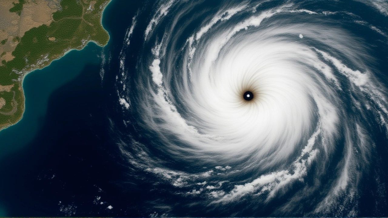
David Wallace-Wells, author and journalist, explained the mechanics simply: "It’s a swelling up of hot water in the Pacific, which changes global temperature patterns." He noted that these events disrupt familiar rhythms of planting seasons and generally boost global temperatures. The term "teleconnections"—those mysterious links between distant weather systems—are coming into play, meaning rain in California might cause drought in Australia.
Meanwhile, environmentalist Bill McKibben pointed out that the indicators are "very high right now." He referenced new predictions from NOAA stating that not only would El Niño begin this summer, but it was likely to be very strong. "No one knows for sure exactly how it will break," McKibben admitted, "but at the moment it’s looking like a very, very powerful event."
History Doesn’t Repeat, But It Rhymes
If you’re wondering what this actually looks like on the ground, look back at 1997–1998. That El Niño caused more than $500 million in damage and flooding across California. Roads washed out, homes were destroyed, and the state’s infrastructure was tested to its limits.
But wait—there’s a twist. Remember the 2015–2016 El Niño? It was widely anticipated to be huge, yet it largely missed Southern California. Precipitation levels didn’t hit the extremes many had feared or hoped for. This unpredictability is why meteorists stress that while the *pattern* is certain, the *local impact* remains a roll of the dice.
So, why does this matter to you? Because Southern California is uniquely vulnerable. Decades of urban development, aging drainage infrastructure, and dry soil make the region prone to rapid runoff when heavy rains do hit. A "typical" El Niño brings higher-than-average precipitation here, but a "very strong" one can bring torrential downpours that overwhelm even modern engineering.
The Double-Edged Sword: Relief vs. Risk
Let’s talk benefits first. After years of drought, a wet winter is welcome news. Reservoirs need filling. Groundwater aquifers need recharging. And perhaps most importantly, increased soil moisture reduces the risk of wildfires, which have become increasingly devastating in recent years. Vegetation grows thicker, less prone to immediate ignition.
Now, the risks. Flooding is the primary concern. Coastal erosion accelerates as large waves pound bluffs and beaches. Urban areas face flash floods, especially in regions with poor drainage. The economic cost can be immense—not just in direct damage, but in disrupted supply chains and lost productivity.
Experts warn that effects could start as early as this summer, with heat waves in some regions and early rainfall in others. The disruption from the expected baseline of weather is already beginning.

What’s Next for Californians?
For now, the advice is simple: stay informed. Check local flood warnings. Ensure your home’s drainage systems are clear. If you live in a fire-prone area, appreciate the moisture—but don’t get complacent about storm safety.
The National Weather Service will continue to update its forecasts monthly. As we move through the summer, keep an eye on sea surface temperatures in the central and eastern tropical Pacific. If those waters stay warm, the monster keeps growing.
Frequently Asked Questions
What exactly is El Niño?
El Niño is a climate pattern characterized by warmer-than-average ocean waters in the central and eastern tropical Pacific Ocean. It occurs every few years and disrupts global weather patterns, often leading to heavier rainfall in some regions and drought in others. The warming of the ocean affects atmospheric circulation, influencing storms and temperatures worldwide.
How will this affect Southern California specifically?
Southern California typically experiences wetter winters during El Niño events. This can replenish water supplies and reduce wildfire risks due to increased soil moisture. However, it also raises the likelihood of destructive flooding, landslides, and coastal erosion. The exact impact varies; while some years bring record rains, others may see less significant changes.
Is this really the strongest El Niño in 150 years?
Some forecasters and media outlets have suggested it could be the most powerful in 150 years, citing current ocean warmth and wind speeds. However, this is a projection based on early indicators. Historical data shows that even strong El Niños can vary significantly in their local impacts. Scientists remain cautious, noting that while the potential for strength is high, certainty is impossible until the event unfolds.
When should I expect the effects to start?
The National Weather Service indicates that El Niño conditions could begin affecting weather patterns as early as this summer, with the full impact likely felt during the winter of 2026–2027. Early signs may include unusual heat waves or shifts in storm tracks. Residents should monitor local forecasts closely throughout the fall for specific rainfall and flood warnings.
What happened during the 1997–1998 El Niño?
The 1997–1998 El Niño was a strong event that caused more than $500 million in damage and flooding in California. It brought intense rainfall, leading to widespread flooding, mudslides, and infrastructure damage. This historical example serves as a benchmark for potential impacts, though each El Niño event is unique in its distribution and severity.